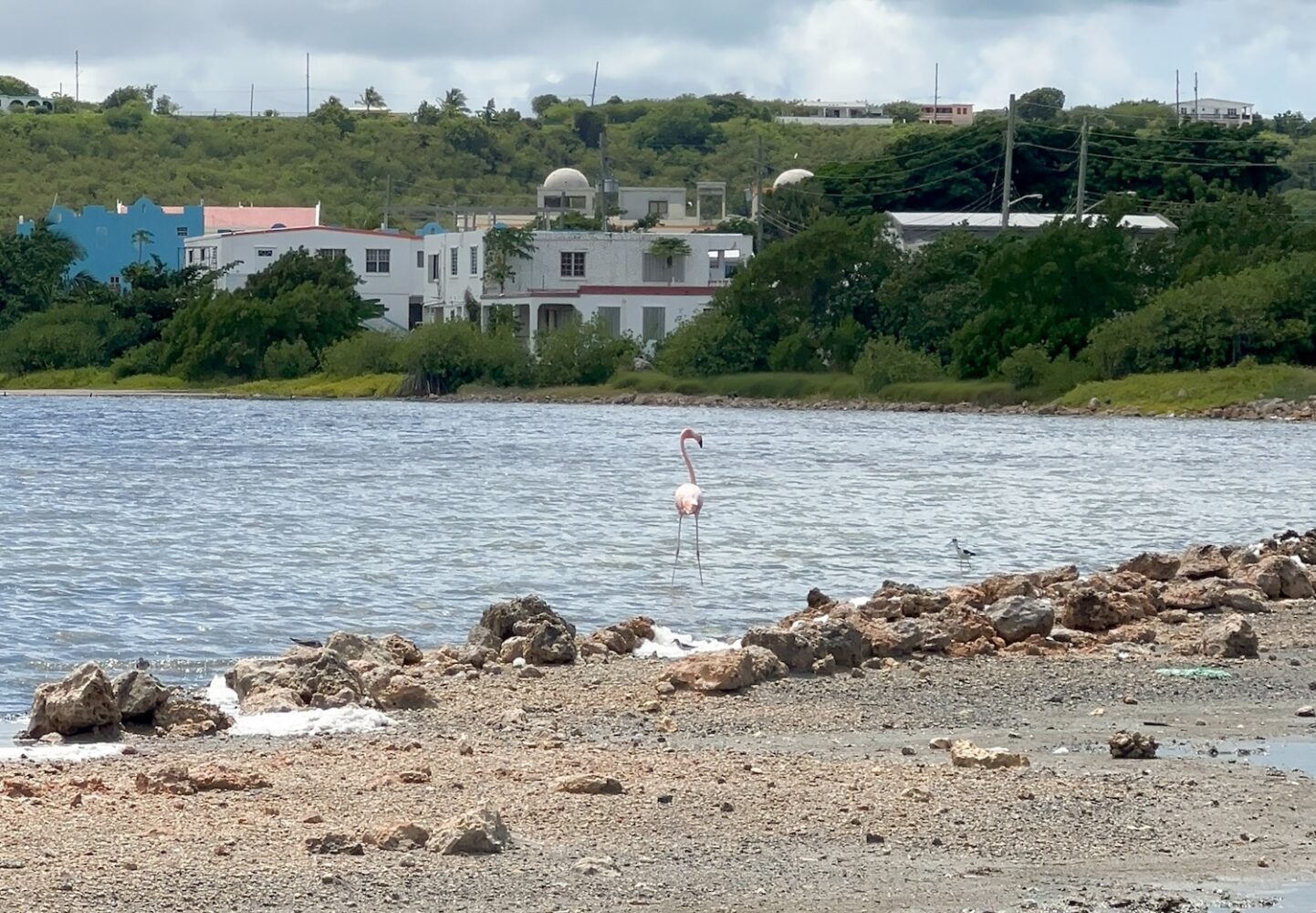
The government has launched a national drone pilot training programme to strengthen disaster response, environmental monitoring and inter-agency operations in Anguilla.
The three-month initiative brings together 10 participants from multiple organisations and government departments and will provide both theoretical instruction and practical flight training.
On completion, trainees are expected to deploy drone technology to support emergency management, surveillance and data-gathering across government services.
Get members-only articles and editorials, giveaways and discount codes with Anguilla Focus. Click here to join from just $4/month.
Scheduled to run from January until March, the programme is delivered by Marine Spatial Information Solutions Inc (MarSIS), led by regional drone and geospatial specialist Dr Kim Baldwin.
Among those participating are members of the Royal Anguilla Police Force, Anguilla Fire and Rescue Services, and the Anguilla National Trust.
Staff from the government’s Immigration Department, Department of Disaster Management, and the Department of Natural Resources – fisheries, maritime and environment – are also attending.
Over the three-month period, participants will receive blended training combining virtual coursework with in-person group sessions and field-based drone operations.
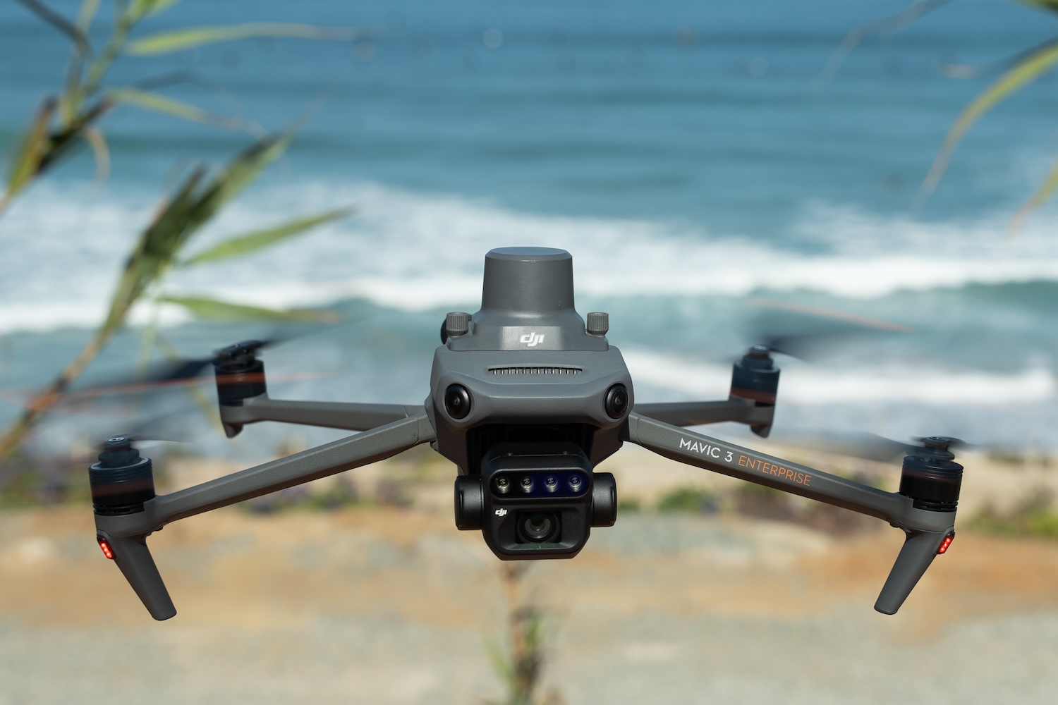
The training includes commercial drone operations and planning, a hands-on flying, mapping and monitoring boot camp, applied fieldwork and mentoring, and the development of national policies and standard operating procedures.
The programme aims to create a certified national drone team to support disaster response, environmental and coastal monitoring, inspections, national security operations and data-driven decision-making.
It is all funded through the United Kingdom Overseas Territories Disaster Management Fund, which supports initiatives to strengthen disaster preparedness, response and resilience.