
The Government of Anguilla in collaboration with the Blue Belt Programme has concluded a series of engagement workshops on how the island’s surrounding seas should be used.
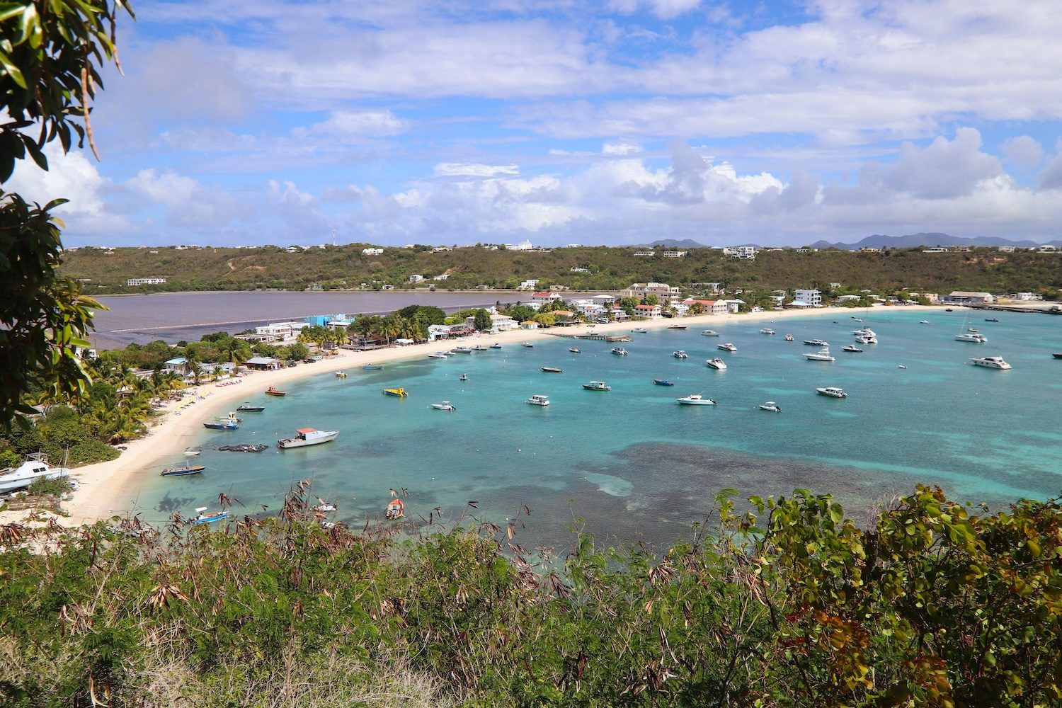
Participants looked at the pros and cons of a small scale pilot project extending from Little Bay to Sandy Island and the approaches to Sandy Ground.
A consultation summary, which was made public on 1 October, explained that the aim was to gather information to allow the government to create policies on marine spacial planning.
Members of Anguilla Focus get exclusive discount codes for accommodation, travel and activities! Click here to join from just $3 per month.
Once adopted, they will determine where activities like fishing, tourism and shipping can operate, and also balance economic use with environmental protection.
“With increasing competition for Anguilla’s marine space and resources, marine spatial planning ensures that the right activities happen in the right place, at the right time and in the right way,” the summary reads.
Consultation
A total of 27 stakeholders participated in the four marine spacial planning workshops in July, with some attending multiple sessions.
The largest groups included charter boat and tour operators, fishers, the Anguilla National Trust and the Fisheries and Marine Resource Unit.
Additional attendees represented a range of other government departments, telecommunications as well as a resident of Crocus Bay.
The engagement workshops gathered feedback on draft policies created for the pilot project and discussed key aspects of the governance structure for taking marine spatial planning forward in Anguilla.
“We would like to thank everyone who attended the sessions throughout the week and provided us with valuable insights and feedback,” the consultation summary says.
Pilot project area
The small-scale, focused pilot project area, which is about 29 square kilometres, is being used to test and trial marine spatial planning policies, tools and approaches in a specific context.
It will help planners, stakeholders and government bodies see how marine spatial planning might work in practice before applying it across larger areas.
Lessons learnt from the pilot project will guide future, larger-scale decisions in Anguilla, the consultation summary says.
The area was chosen in 2024 due to its unique issues and challenges that marine spatial planning may help to overcome, as well as opportunities that it can help in realising.
The draft policies discussed during the engagement were specifically created for this pilot project area.
Key takeaways
Some clear themes emerged across all groups during stakeholder workshops, the consultation summary says.
Firstly, there was strong support for dedicated marine spatial planning legislation and a clear governance structure.
Stakeholders raised concerns about limited enforcement capacity, and outreach, signage and education were seen as essential for encouraging voluntary compliance.
There were calls for wider representation from residents, NGOs and different fisher groups, as well as for marine spatial planning to feel practical, not restrictive.
Feedback focused on anchoring and cable protection, tourism and boating safety, seasonal flexibility of policies, and clearer language on climate resilience.
And finally, stakeholders emphasised the need for marine spatial planning to plan ahead, consider cultural significance, and include review points to account for hurricanes and changing conditions.
Next steps
In response to concerns, in the coming months the consultation team plans to carry out several steps beginning with revising the pilot project report to reflect stakeholder feedback and clarify policies.
It will establish the marine spatial planning board through the BANG (Blue Anguilla) Ocean Governance Committee and adopt a terms of reference.
The team will create a stakeholder working group with broad representation, including residents, fishers, NGOs and representatives for all other marine users.
It will conduct further consultation on pilot project implementation, outreach and enforcement approaches.
And finally, draft standalone marine spatial planning legislation to provide long-term certainty and integration with land-use planning.
Marine spatial planning coordinator James Gumbs has worked closely on the project with Melissa Meade, principal assistant secretary at the Ministry of Economic Development and Natural Resources.
Anyone who wants to find out more about marine spatial planning in Anguilla and how to be involved, can contact james.gumbs@gov.ai